Places Of Interest
Darkan
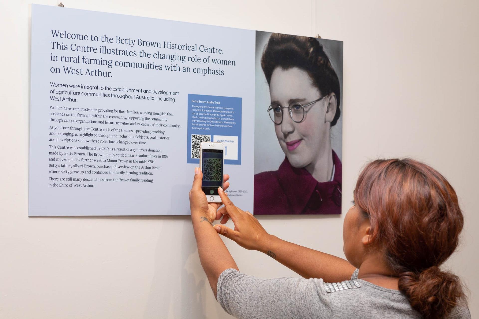
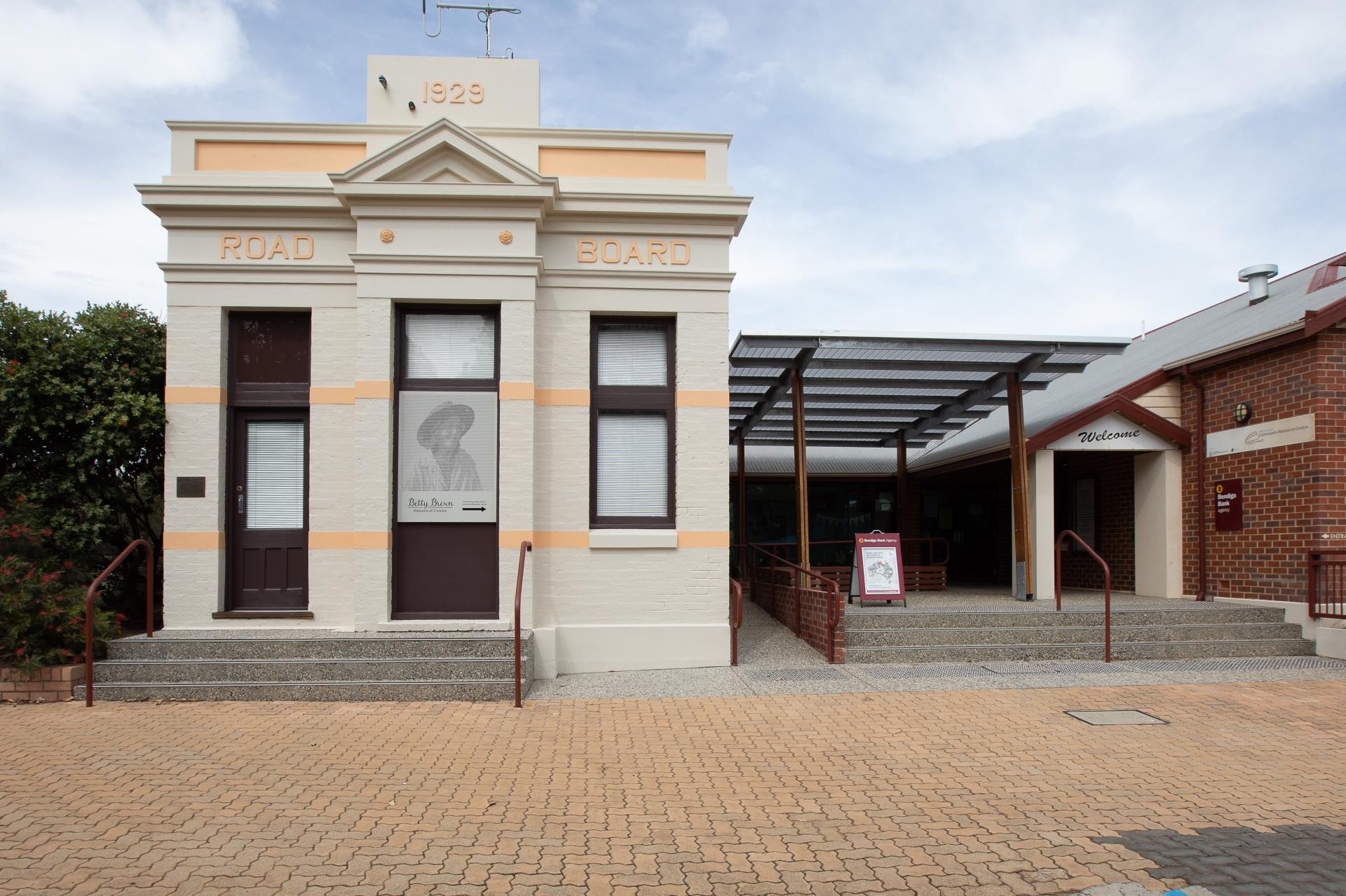
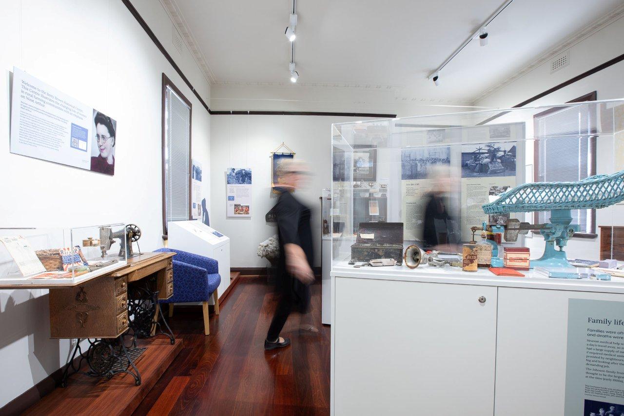
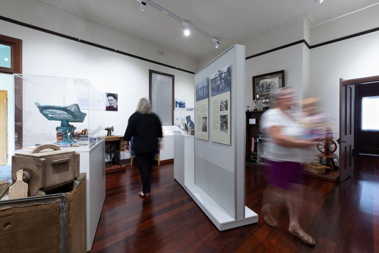
Betty Brown Historical Centre
The Historical Centre, located in the old Road Board building, and accessed through the West Arthur Community Resource Centre, showcases the contributions made by women to the development of rural communities. The Centre was established as a result of the generosity of Betty Brown who provided the Shire with funding for the Centre. A number of women are featured in the Centre. To listen to the audio included in the Betty Brown Historical Centre click here. Betty Brown Historical Centre - Google Maps
Displays are changed regularly, and have included the Country Women's Association and Women at War.
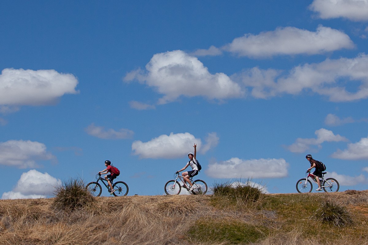
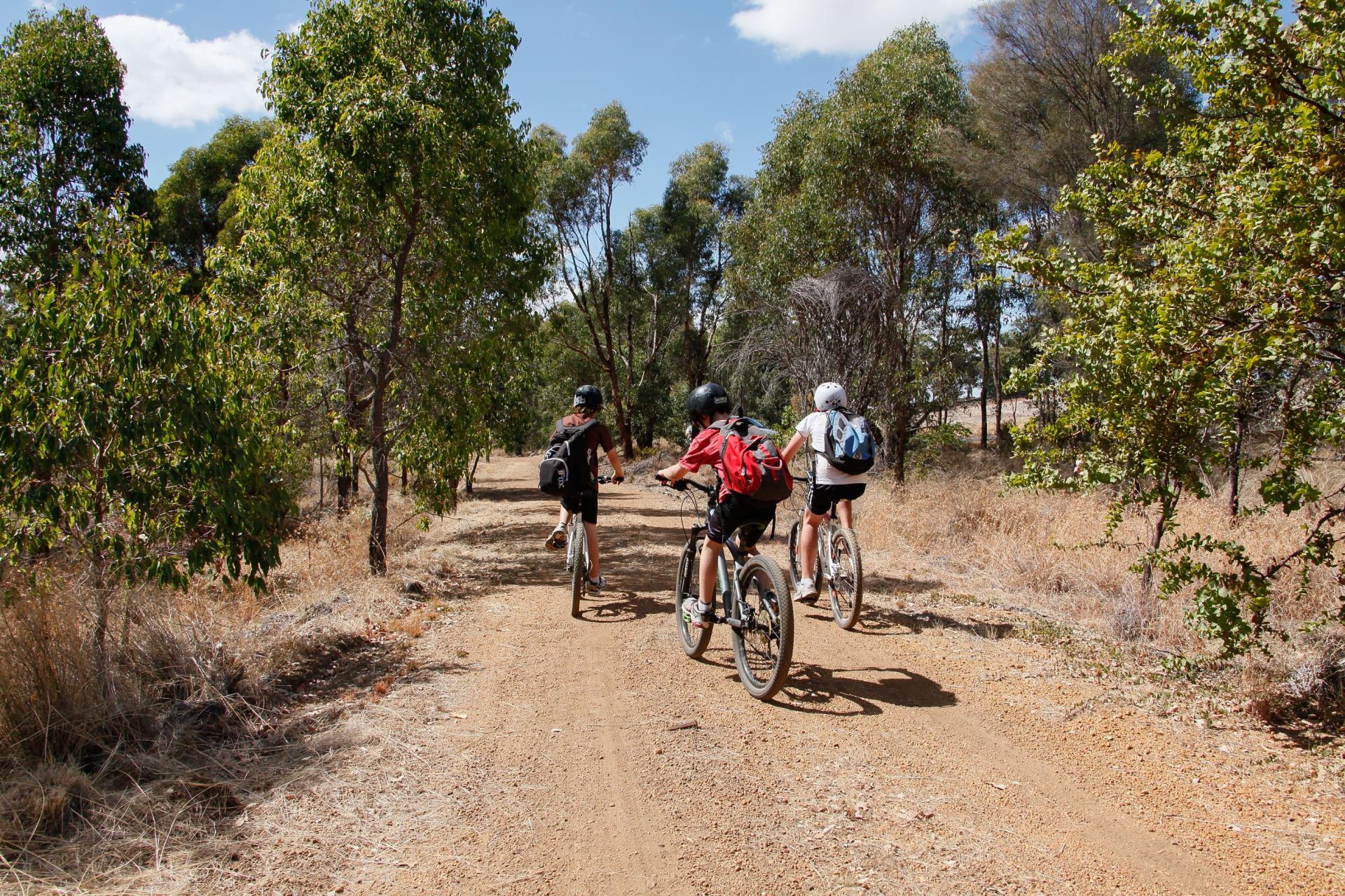
Collie-Darkan Rail Trail
The Collie Darkan Rail Trail is a multi-use trail for walkers, horse riders and cyclists that extends from Collie in the west to Dardadine in the east. For more information go the Rail Trail Facebook page, Trails WA or to view the Trail Map, please click here. Collie-Darkan Rail Trail (Eastern Terminus) - Google Maps Collie-Darkan Rail Trail (Western Terminus) - Google Maps
You can download the Wambenger Trails app here.
Darkan Art Path
The Art Path is designed to connect Coalfields Road and Burrowes Street - Darkan's main street. Running across the railway reserve, the path takes you past the historical railway station precinct. Showcasing places of interest and industry, each sign is double-sided, incorporating both a human aspect and the natural. Talented local photographers took the photos. The path was funded through the Foundation for Rural and Regional Renewal (FRRR). Google Maps

Darkan Heritage Trail
The Darkan Heritage trail takes you on a walk around the town site, pointing out various buildings and locations that are significant to the local community and the town's history. Find out more about it here. The trail is also on Trails WA.


Darkan Mural
The mural is located on the east side of Darkan Agri, on Burrowes St. It depicts aspects of the Shire of West Arthur, including Lake Towerrinning, skydiving, wildflowers, the night sky, agriculture and merino sheep. This mural was funded through the Foundation for Rural and Regional Renewal (FRRR). Google Maps

Darkan Skate Park and Nature Play area
The Darkan town site caters for all ages with a skate park, nature play area, traditional playground, trampolines, BMX bike track, exercises equipment and free BBQs located on the Darkan Railway Reserve. Darkan Historical Railway Station - Google Maps


Heritage
Arthur River Heritage Precinct
The Arthur River Heritage Precinct is located on the Albany Highway in Arthur River. It includes the Mt Pleasant Kitchen built in 1869 to cater for travellers, shepherds, sandalwood cutters and settlers, the Post Office, the Town Hall and other restored historical buildings. Located on the north side of Arthur River is St Paul's Anglican Church, while on private property to the south is the old timber shearing shed. Google Maps


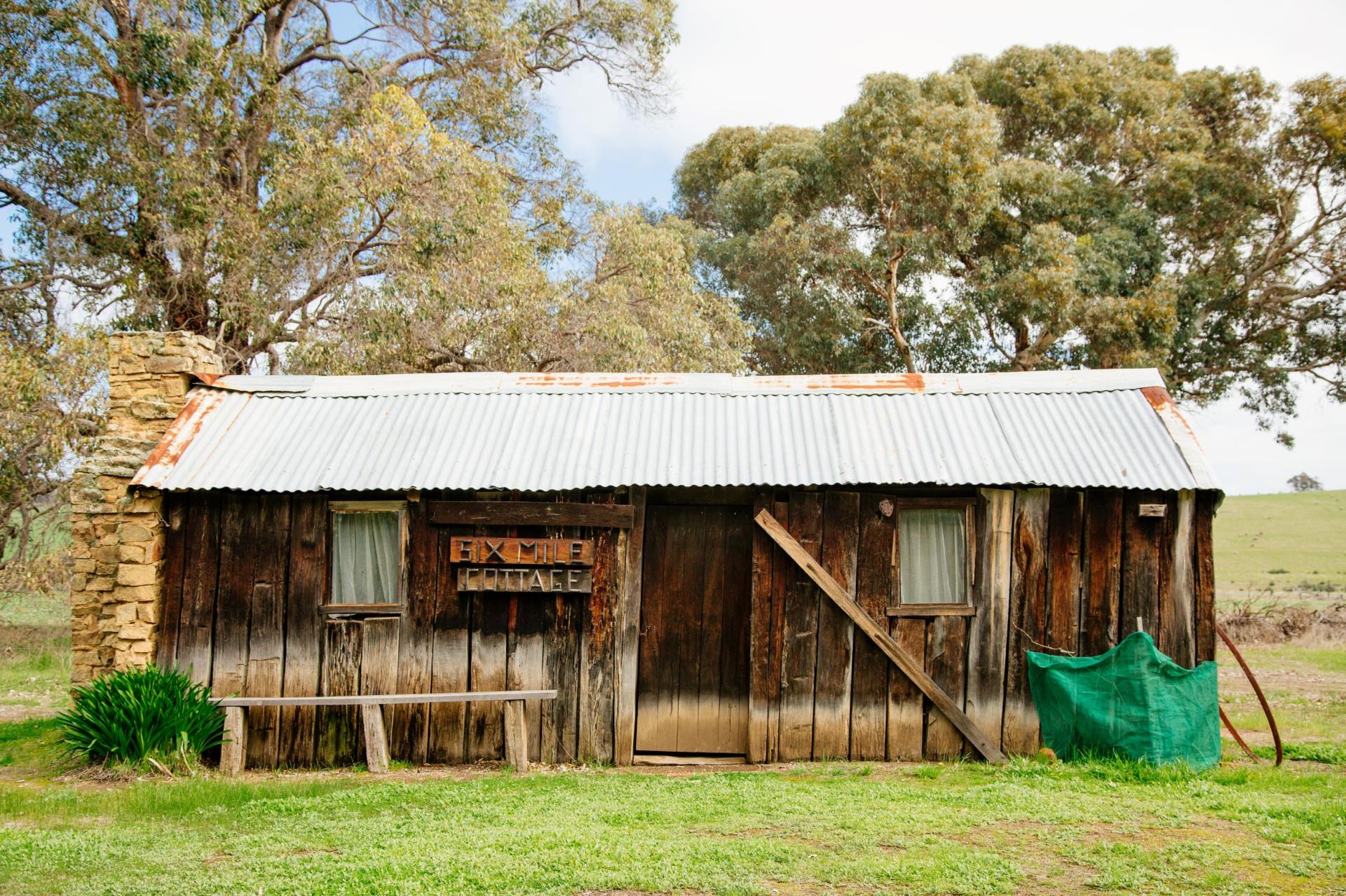
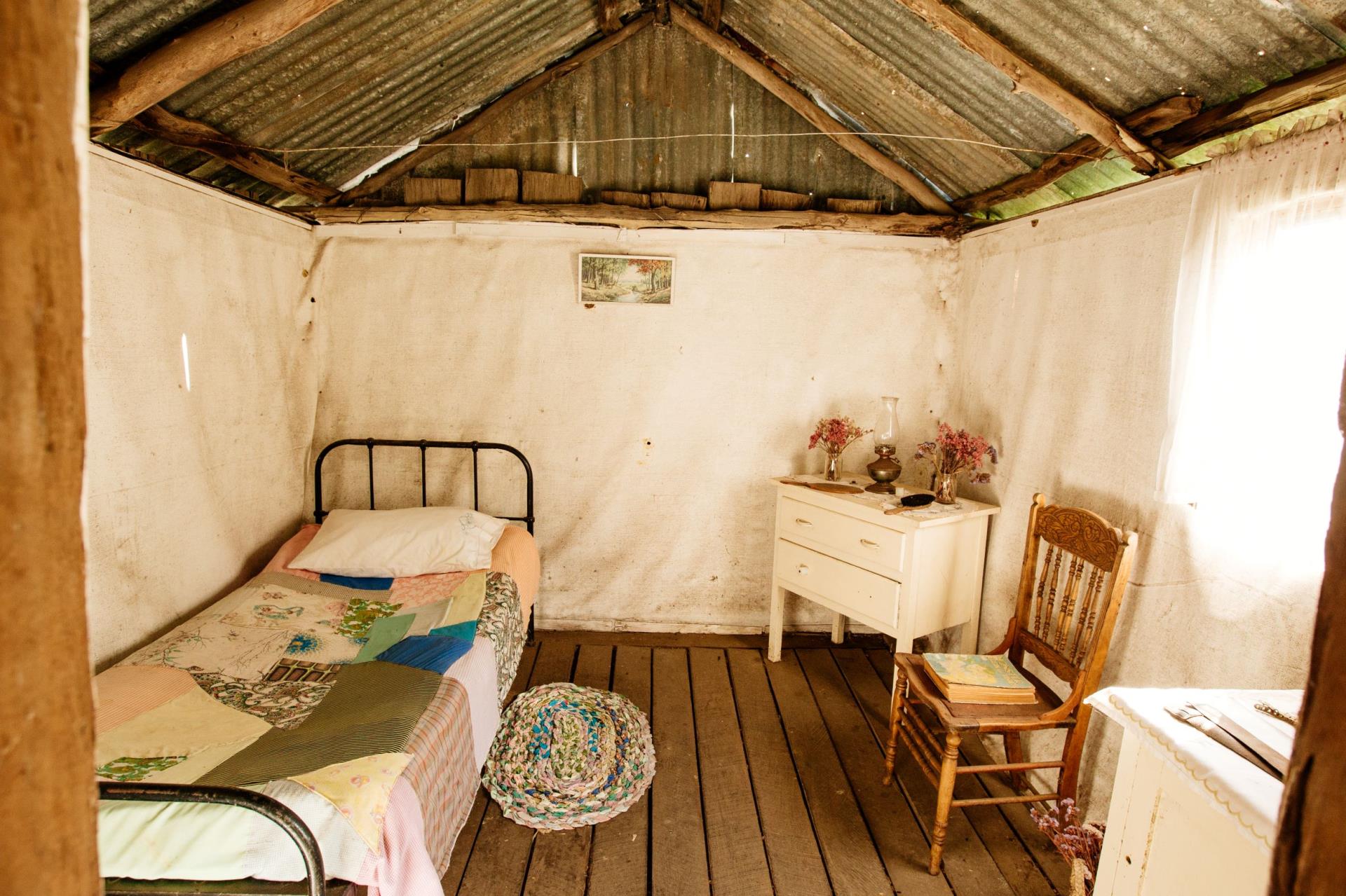
Six-Mile Cottage
Located just off the Quindanning Road, approximately 8 km north-west of Darkan, Six Mile Cottage is a historical two-room cottage built from timber slabs with a stone end wall and fireplace. You are welcome to go inside and take a look. 6 Mile Cottage - Google Maps
Nature
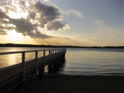
Lake Towerrinning
Lake Towerrinning is a 256 ha phenomenon close to, but not directly part of, the Arthur River. The Lake is ideal for all water sports, including skiing, and has a barbecue and picnic spot.
Read more about Lake Towerrinning. Lake Towerrinning - Google Maps

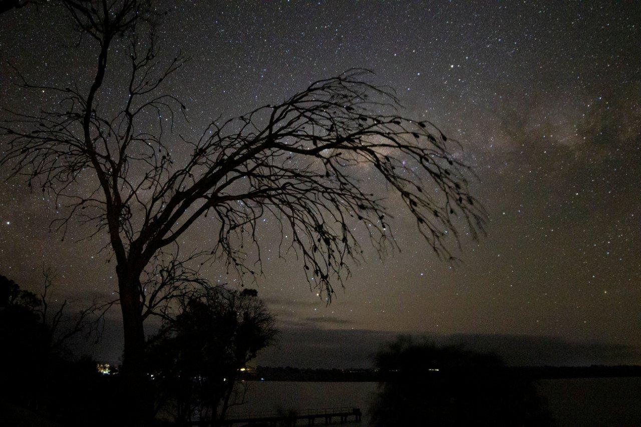
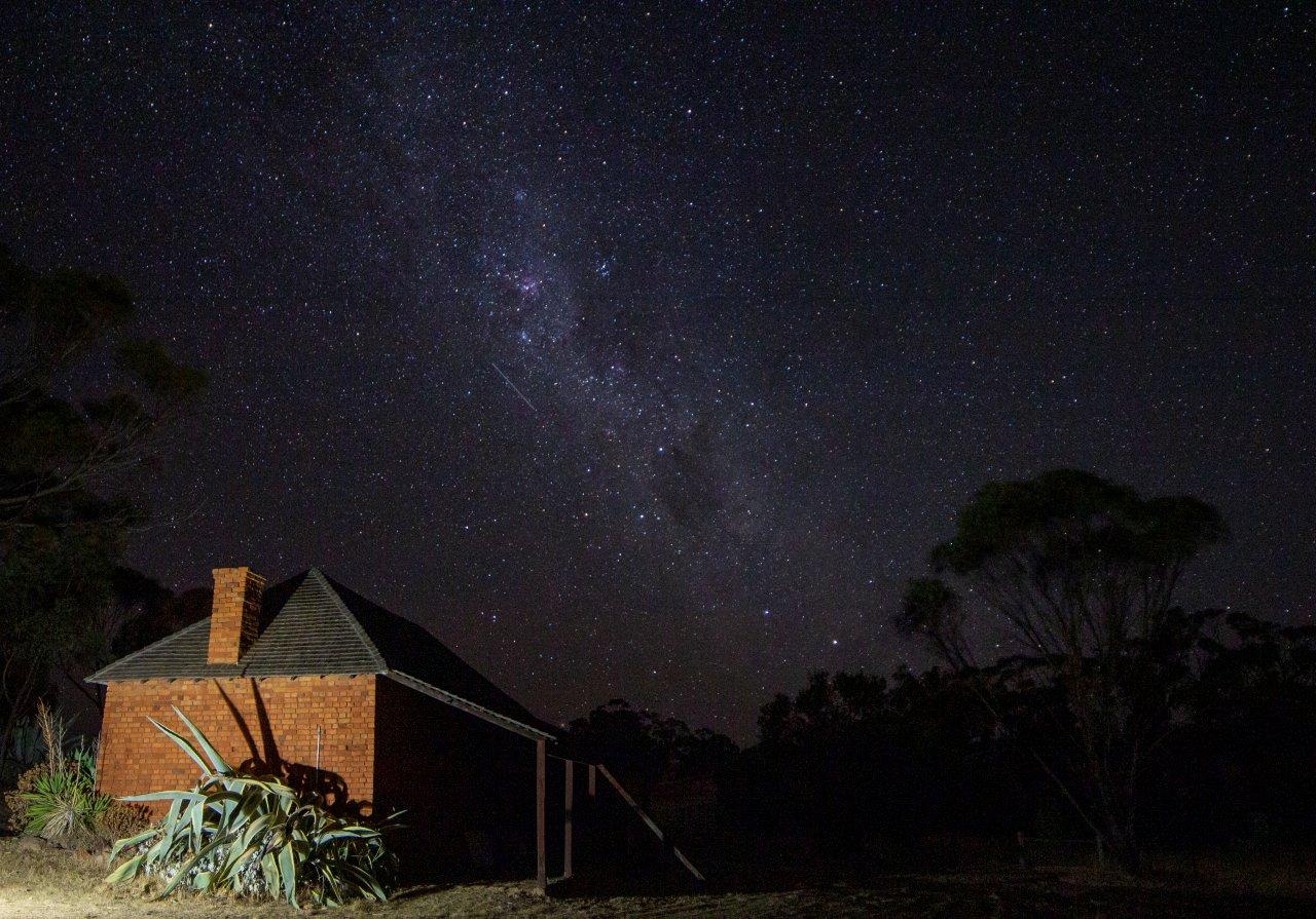
Our Night Skies
West Arthur is part of the Astrotourism WA network, and there are many places throughout the Shire where you can take stunning astrophotos. Hillman Siding (approximately 9km north of Darkan) has been designated as an area where astronomers can set up their telescopes and view the night sky away from light pollution.
Places that are suitable for astro-activities are detailed here or by downloading the izi.travel app here).


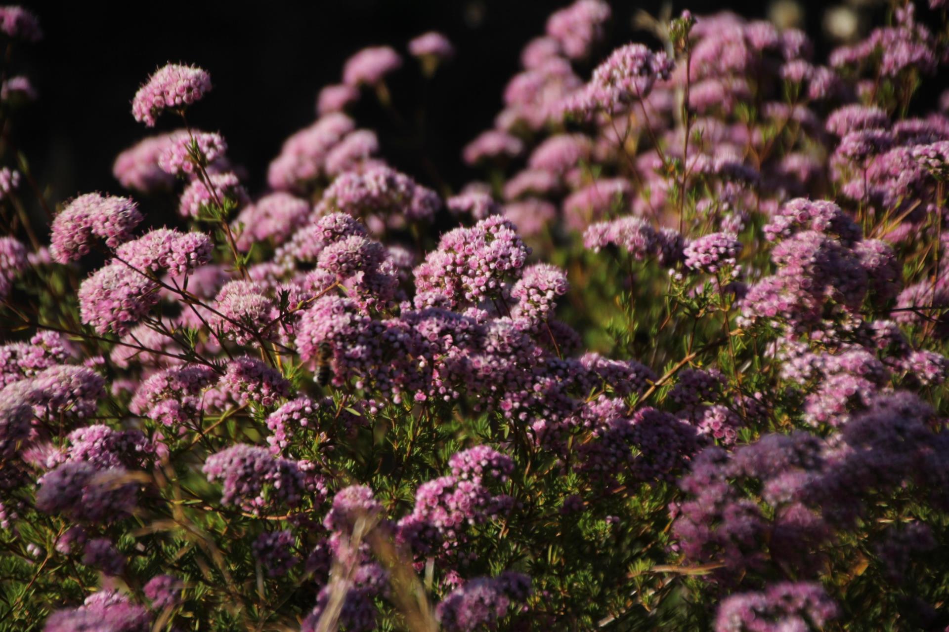
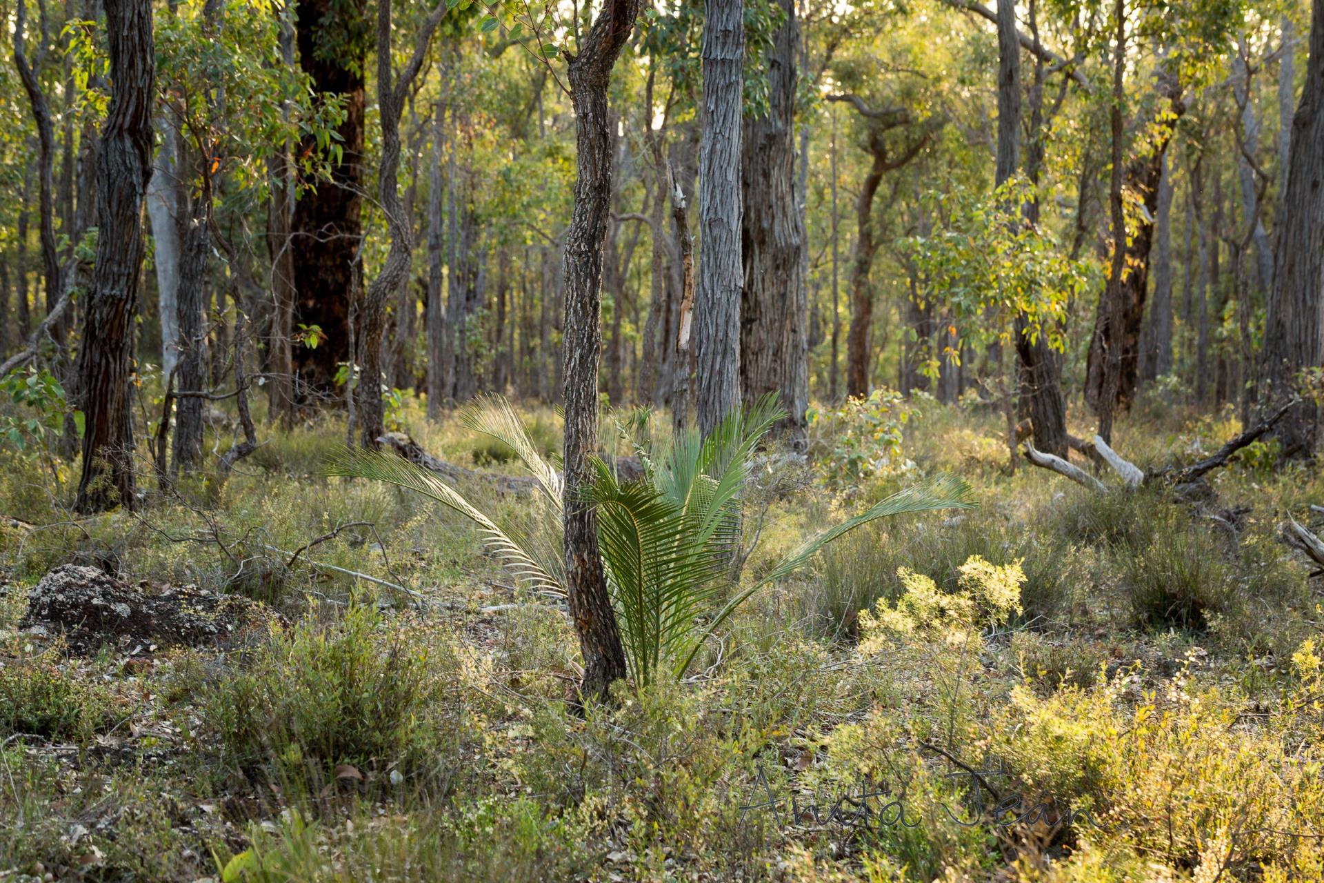
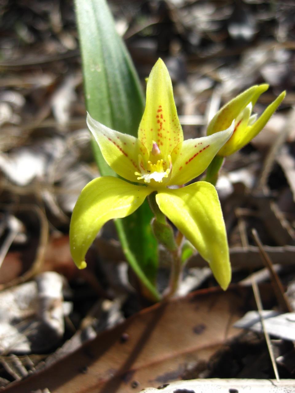
Wildflower Reserves
Throughout the Shire of West Arthur there are many areas with beautiful wildflowers. The "Boronia Reserve" is cared for by a local warden, who will often act as tour guide and provides information for visitors.
Photo credit: Kerryn Chia Photo credit: Caroline Telfer
Hillman Rock And Hillman Dam
Hillman Rock is a large area of rock on Mount Harris. Hillman Dam was built during the Depression. The dam channels are over one mile long and were dug by hand and concreted in order to bring water from Hillman Rock. The area surrounding Hillman Dam is a flora and fauna reserve.
Due to asbestos hazard, access to the site is restricted. Please contact the Shire Office.